
Interactive Maps with leaflet in R on DataCamp
R leaflet · R · maps
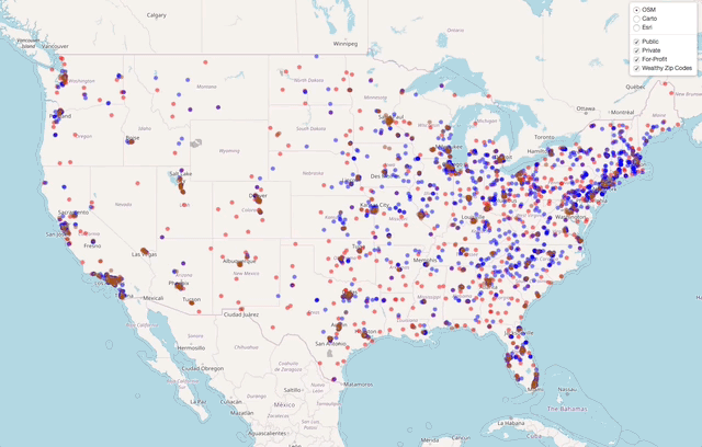
My first course on DataCamp launched on July 5th, 2018. This course uses data on all American colleges and universities to explore various ways of mapping point data and income data to demonstrate how to map polygon data. In the later chapters, I cover how to add a few pieces of flair to leaflet maps in R.
Here is one of the interactive maps from the last chapter…
The first chapter is free. Check it out here.
comments powered by Disqus